
Airport Access
Two Major Airports.
Both Worth Understanding.
Where you live can drastically impact airport convenience — and that matters if you travel for work.
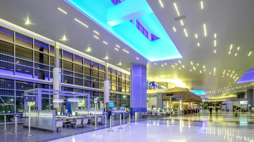
George Bush Intercontinental
Houston's primary hub airport
- Major international hub — direct flights worldwide
- 3rd busiest airport for United Airlines
- Best for: The Woodlands, Cypress, north suburbs
- Business travelers love the north-side convenience
From The Woodlands: ~25 min · From Katy: ~45–55 min · From Midtown: ~30–40 min
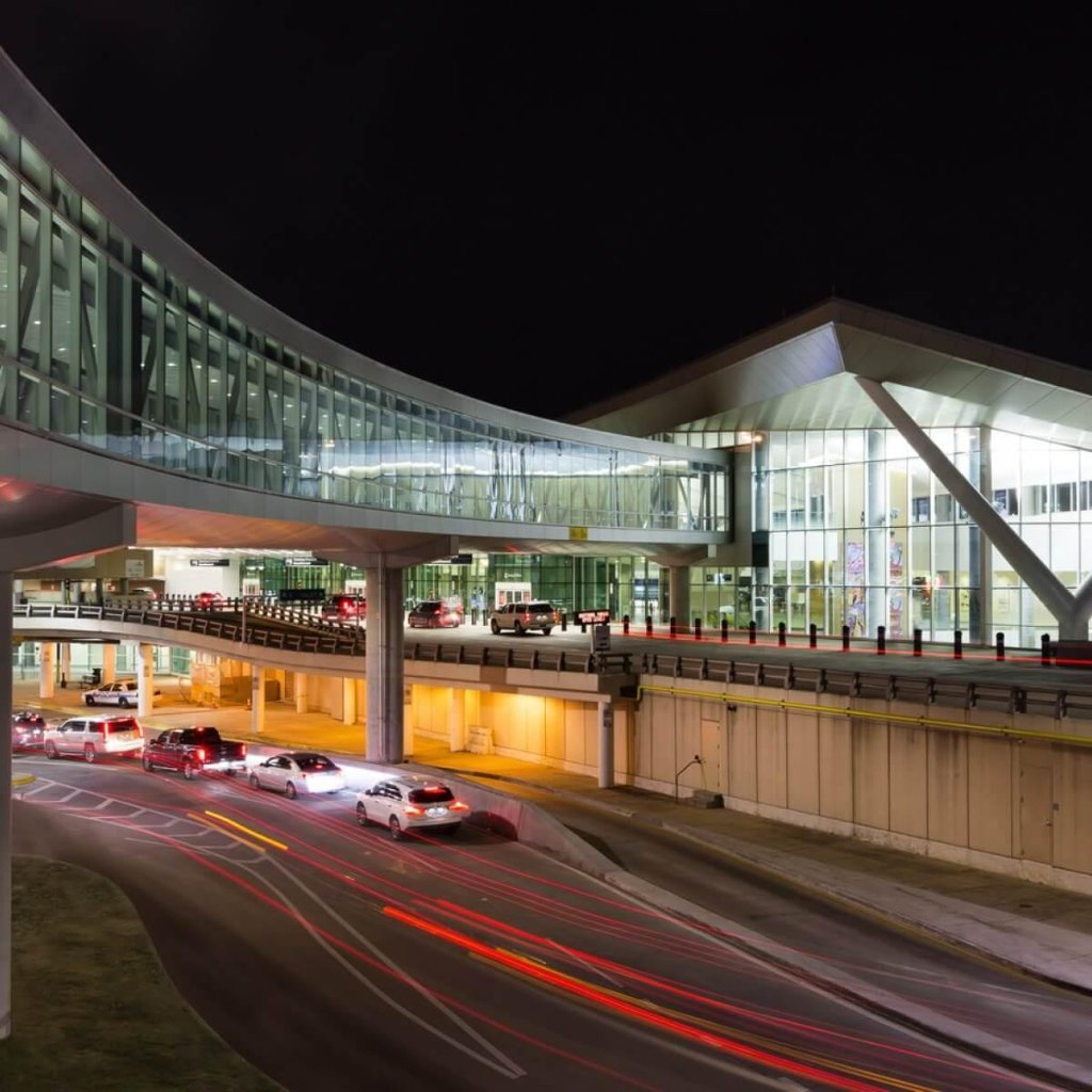
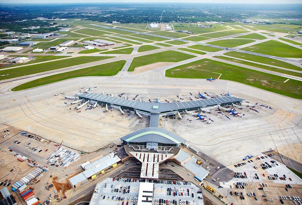
William P. Hobby Airport
Domestic-focused, easier experience
- Primarily Southwest Airlines + domestic routes
- Smaller, faster, less stressful
- Best for: Pearland, Sugar Land, south suburbs
- Simpler parking + faster check-in experience
From Pearland: ~15 min · From Sugar Land: ~25 min · From Midtown: ~20 min
Key Insight
Your airport matters more than most people realize.
If you fly frequently for work, airport proximity should factor into your area decision — especially for IAH travelers going north.
Highway System
This Is How Houston Actually Works.
Houston is built around a loop system — three concentric rings with radial highways connecting them.
I-610 Inner Loop
The innermost ring. Inside = urban, dense, walkable. Most inner neighborhoods cluster around it.
Beltway 8 (Sam Houston Tollway)
The middle ring. Suburban feel, major employment centers (Energy Corridor, Greenway Plaza). Access to both airports.
Hwy 99 (Grand Parkway)
The outer ring. Connects master-planned communities — Katy, Cypress, The Woodlands, Pearland. The suburban lifeline.
The Simple Mental Model:


Your commute depends more on location than distance.
Two homes 20 miles from your office can have very different commute times depending on which highway you're using and the direction of traffic flow.
METRORail
Rail Exists. It's Useful.
But It's Not City-Wide.
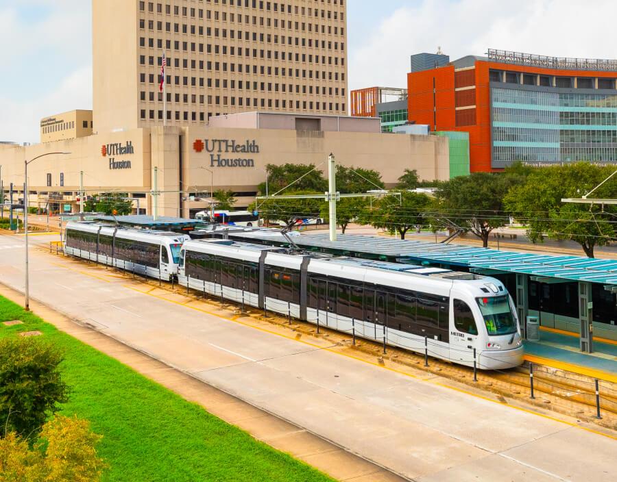
Be honest with yourself about this: Houston's rail is not like NYC or DC. It serves specific corridors well — and that's it.
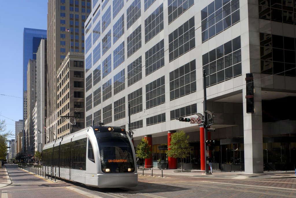
Where It Works Well
Red Line
Downtown ↔ Texas Medical Center ↔ NRG Stadium. Genuinely useful for Med Center workers in Midtown or Montrose.
Green & Purple Lines
East downtown and UH corridor. Good for commuters in those specific areas.
Museum District
Serves the museum area well — a nice bonus for inner-loop residents.
The Honest Reality:
- •Not city-wide — suburbs are not connected
- •Very useful if you live in the right corridor
- •Most residents still drive even near rail stops
- •Growing slowly — more expansion planned
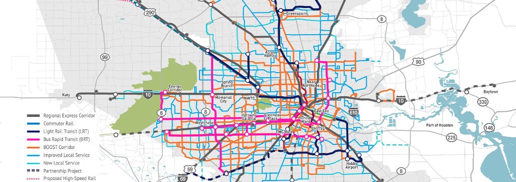
Houston's planned transit network expansion — showing proposed light rail, BRT, and commuter rail corridors.
METRO Bus System
Extensive Coverage.
But Secondary to Driving.
METRO operates one of the larger bus networks in the South. Coverage is improving — but for most Houston residents, it's a backup option, not primary transportation.
Bottom Line on Bus:
If you live in a dense inner-loop area and work downtown or near the Med Center, bus + rail can actually work. If you're in Katy, Cypress, or The Woodlands — plan on driving. Full stop.
Who it works for:
Inner-loop residents, downtown workers, U of H students, and those using Park & Ride from suburban hubs.
The Real Talk
Commuting in Houston:
What Nobody Tells You.
The Good News
- Multiple route options — you're rarely locked into one road
- Houston's highway system is massive and constantly expanding
- Off-peak hours can feel faster than most major cities
- No state income tax partly offsets commute time trade-offs
The Reality
- Peak hours (7–9am, 4–7pm) can be brutal on major corridors
- I-10 west, 290, and 45 south are notorious during rush
- 20 miles in Houston does NOT equal 20 minutes at rush hour
- Suburban locations can mean 45+ min commutes each way
"20 miles in Houston ≠ 20 minutes."
Direction, time of day, and which highway you take matter enormously. Always test-drive your commute before committing to a home.
Transportation → Location
Where You Live Matters
More Than Anything.
Here's how to align your work location with the right area.
Texas Medical Center
Downtown / CBD
Energy Corridor
The Woodlands / North
Near IAH (frequent flyer)
Near Hobby (Southwest flyer)
Commute-First Guidance
Don't Choose a Home Without Considering the Commute.
Tell us where you'll be working and we'll show you the best areas for your commute.